

Landslide risk overlay - what it means for your project
Council recently introduced a significant change regarding landslide risk management. These changes may affect your current or future projects, especially if your property is located near identified landslide risk areas.
What’s Changed?
New Landslide Risk Overlay: The Council has removed the previous definition of “land subject to instability” and replaced it with a new landslide risk overlay.
Geotechnical Assessment Requirement: If your site is within 150 meters of any identified landslide risk area (as shown on Council maps), you are now required to submit a geotechnical risk assessment for Council review.
What Does This Mean for You?
Wider Impact: Many sites across Auckland are affected, as the new overlay covers a broad range of moderate, high, and very high susceptibility areas. Even if your property is not directly in a mapped risk zone, being within 150 meters of one means the new rules apply.
Additional Costs and Delays:
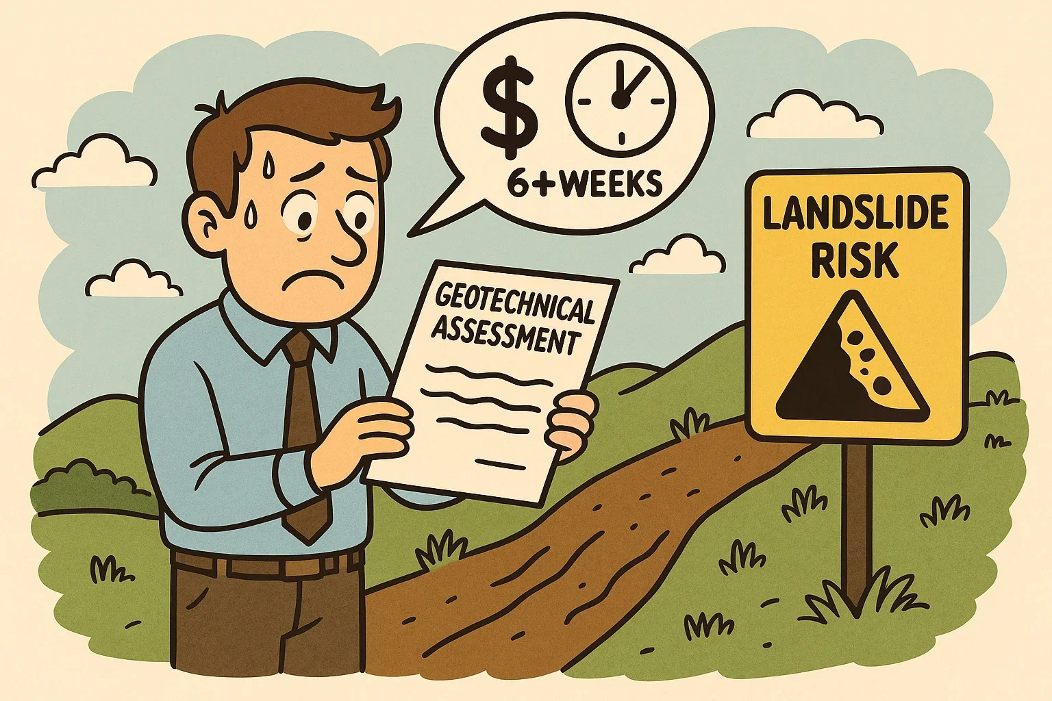
The Council currently has very limited qualified geotechnical engineers, and existing backlogs for reviews are already 6+ weeks.
You should anticipate additional costs (potentially $10,000 or more) and further delays for any required geotechnical
assessments.
Consent Implications:
If your site is deemed “low risk” after assessment and you comply with the relevant standards, you may proceed as permitted.
If your site is assessed as “medium” or “high” risk, or if you do not comply with the standards, additional consent processes will apply, potentially as a Restricted Discretionary, Discretionary, or Non-Complying Activity.
What Should You Do Next?
Check Your Site: Review the Council’s GeoMaps PC 120 under the “Natural Hazards” theme and select the “Landslides” box to see if your property is within 150 meters of a risk area.
Plan for Delays: If you are within the affected area (within 150meters of a brown dot on the map), factor in extra time and costs for the required geotechnical assessment.
Seek Expert Advice: We recommend engaging with a qualified geotechnical specialist early in your planning process to help navigate the new requirements and minimise delays.
Need Help?
Our team is here to assist you in understanding these changes and managing the new requirements for your project. Please contact us if you have any questions or need support with site assessments or consent applications.